The New York City Emergency Management Department issued a travel advisory for Friday as weather patterns predict snow, which may impact the evening commute.
The National Weather Service (NWS) has issued a hazardous weather outlook in effect citywide for tomorrow.
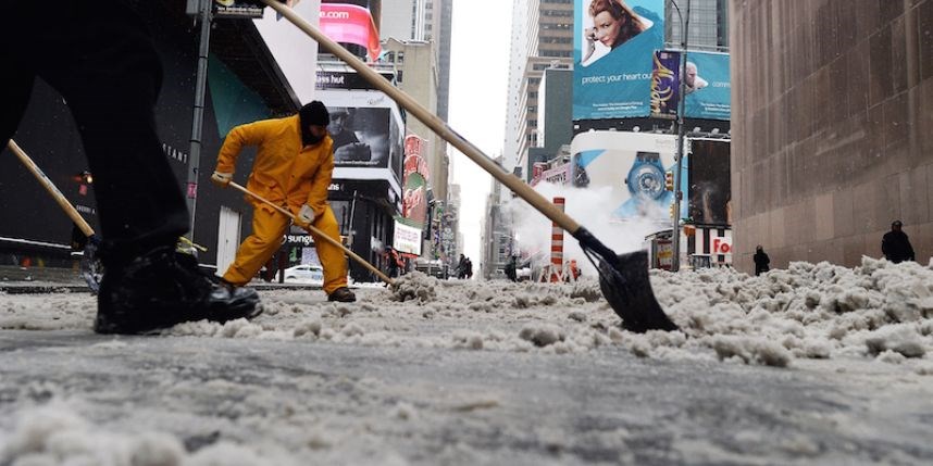
Light snow is expected throughout the day as a low-pressure system passes offshore to our south. A few flurries are possible tonight, but accumulating snowfall most likely begins between 6:00 a.m. and 9:00 a.m. tomorrow and begins to taper off in the afternoon, coming to an end sometime between 6:00 p.m. and 8:00 p.m., according to a release.
Snowfall totals of around 3 inches at rates of a half inch an hour or less are expected in New York City. Totals of 4 to 5 inches are possible if the storm tracks closer to the coast or may be as little as 1 inch or less if it tracks further offshore. This will be an all-snow event with no changeover in precipitation type. No impacts are anticipated for the morning commute, but snow and slush-covered roads alongside low visibility are likely for the evening commute, resulting in travel delays.
Cold conditions continue through the weekend, allowing snow to stick around. Temperatures will remain several degrees below the norm with lows in the low 20s to upper teens and wind chills in the teens to single digits. Even colder air moves over the area following the storm. Wind chills could approach zero over the weekend with gusty winds of 20 to 30 mph. Sub-freezing temperatures will persist until Monday. Melting of snow and a refreeze will be possible Monday night.


