Transportation Alternatives, alongside MIT’s Norman B. Leventhal Center for Advanced Urbanism (LCAU), updated and expanded its Spatial Equity NYC, a tool that maps and analyzes inequities in how public space is used and allocated across New York City.
The data showed widespread inequity, racial and economic divides in bus speeds, pedestrian plaza access and flood exposure, according to a news release.
Spatial Equity NYC now includes 24 data layers, which makes available the percentage of residents who: live in a floodplain, live near a pedestrian plaza, have access to sidewalks, suffer from serious injuries from traffic, and visit the emergency room due to childhood asthma, as well as the average commute times by various modes.
The tool also shows every traffic fatality since Vision Zero began in 2014, the canopy of every tree, every on-street city bench, flooding, bus lanes and subway lines.
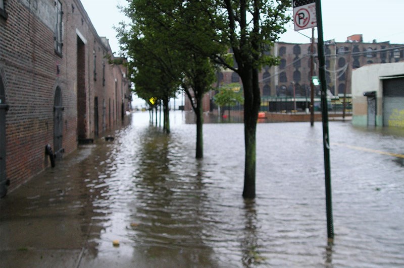
The update includes flooding maps, which help pinpoint what neighborhoods in Brooklyn are at extremely high risk of flooding -- especially compared to the rest of the city -- and how these risks are only growing with climate change.
Brooklyn is the second worst borough (behind Queens) for the percentage of residents living in a floodplain, and 10% of Brooklynites live in a floodplain, the organiztion said.
Specifically, the updated maps found that 41% of Community Board 13 (Brighton Beach, Coney Island, Gravesend and Sea Gate) lives in a floodplain, and 20% of Community Board 15 (Gravesend, Sheepshead Bay, Manhattan Beach, Gerritsen Beach, Madison, Homecrest, and Plum Beach).
"Today, we're expanding Spatial Equity NYC with MIT to give New Yorkers more ways to see how the decisions on our streets impact our health, environment, and infrastructure. The inequities this tool brings to light are staggering, and entirely fixable," said Danny Harris, executive director of Transportation Alternatives. "By empowering New Yorkers with data and solutions, Spatial Equity seeks to build a more equitable, healthy, sustainable, and vibrant New York City.”


